SOCIETY — May 6, 2026
Afghanistan’s Forest Cover Increases by 35 Percent Over 15 Years
The National Statistics and Information Authority reports that Afghanistan’s forest cover grew by 35 percent over 15 years, reaching 1.6 million hectares, with the largest provincial gains recorded in Paktia, Khost, and Badakhshan.
The Ehtebar Desk — originates with Pajhwok — 2 min read
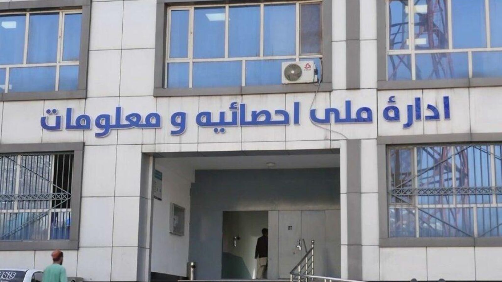
Afghanistan’s forest cover has expanded by 35 percent over the past 15 years, according to data released by the National Statistics and Information Authority. The assessment indicates that forested land increased by 427,000 hectares between the solar years 1390 and 1404, bringing the total to approximately 1.6 million hectares. This figure represents roughly 2.54 percent of the country’s total land area.
The authority compiled the data using remote sensing technology and satellite imagery. When combined with shrubland, the total vegetated area covers about 3.3 million hectares, accounting for 5.06 percent of the national territory.
Provincial breakdowns from the report show that the most significant gains in forest cover occurred in Paktia, Khost, Badakhshan, Baghlan, Badghis, Nangarhar, Kunar, Herat, and Laghman. Nuristan province maintains the largest contiguous forest area in the country, spanning 274,000 hectares. It is followed by Kunar, Badghis, Paktia, Khost, and Paktika in total forest coverage.
The findings reflect a long-term environmental trend tracked through geospatial monitoring. Officials noted that the satellite-based methodology allowed for consistent measurement across diverse terrains and remote regions. The data provides a baseline for future land management and conservation planning as authorities continue to monitor ecological changes across the country.
Read the original reporting at Pajhwok →
Reliability assessment
Single-source report citing a direct, on-record statement from the National Statistics and Information Authority (NSIA) with concrete, checkable details including specific methodology (satellite imagery), precise timeframes (1390–1404 solar years), exact hectare figures, and provincial breakdowns. Per guidelines, a single source with strong, named institutional attribution and specific data qualifies as reliable.
The source language reads straight.
Across the newsrooms
Filed by
Pajhwok
Originating
Reported straight
Reported straight
Filed under
Society — NSIA, Afghanistan, Forestry, Environment, Remote Sensing
Spotted an error or have more on this story? Tip the desk on Telegram → or WhatsApp →.
Reader supported
Keep Ehtebar running
Every published story uses paid tools to translate reporting, compare sources, extract claims, and produce a clearer read on Afghanistan. Reader support helps keep that work independent.
€5
helps cover daily verification runs
€15
supports a week of source comparison
€50
keeps independent analysis moving